The Making of a Classic Bridge Photograph

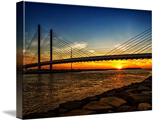
Charles W. Cullen Bridge over the Indian River Inlet at Sunset

Once in a while I get asked, “How long did it take for you get that picture?” My usual answer is, “less than a second, but…there’s more.” Yes, “but” – because there is a lot more involved than snapping that shutter at 1/125th of a second or thereabouts.

Indian River Inlet Bridge at Sunset Printed on Canvas
Sunset under the Indian River Inlet Bridge printed on artist-quality canvas.

Imagine planning to create a pleasing sunset photograph of a popular and photogenic bridge – such as the Charles W. Cullen Bridge over the Indian River Inlet at the Delaware Seashore State Park. Here’s a sequence to think about: 1) Packing the camera gear, 2) don’t forget the tripod), 3) driving to the location, 4) setting up the gear and tripod, 5) calling on years of experience to frame the shot from the right angle (or several angles because one is not enough), 6) repacking the gear and trekking back home, and finally 7) editing the image captured from the outing to create just the “right” couple of images for display and to offer for sale. The 1/125th of a second to get “that” picture was actually several hours of time on “that” day and, really, might have been several years in the making. Also, figure in the complexities of the weather – to have the clouds and the sun cooperate in just the right way.

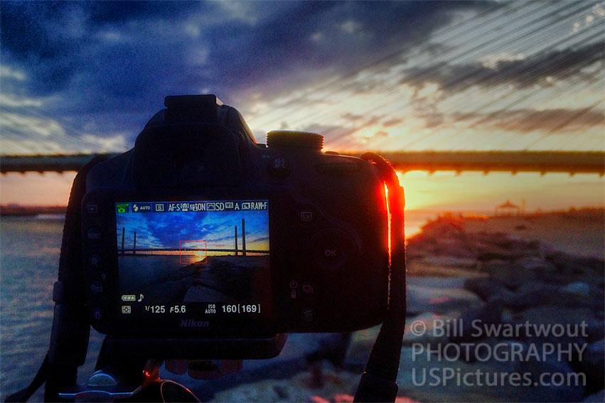
Camera Screen with a Scene of the Indian River Bridge at Sunset
Trusty ol’ Nikon on a tripod on the north jetty at the Indian River Inlet.

Not only did I have prep and driving and time on site, I also had a slight bit of danger involved. (Cue the ominous music here.) I had to walk out on the rock jetty with no handholds and water-sprayed rocks (slippery?) while carrying my camera bag, a tripod – and me. But the result was well worth it. Shots from this particular photo shoot have proven to be quite popular photograph over the years, having been purchased by several art buyers to decorate their homes and offices. Another photograph from this location has appeared in a popular Indian River Bridge Calendar.

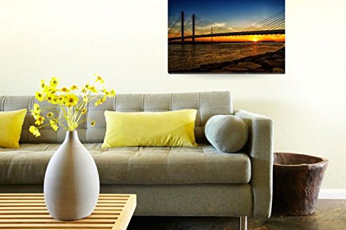
Indian River Bridge at Sunset Wall Art in Room Setting

Where would you hang this in your home?

Click the links below to see the actual image in a larger size and to browse or shop the different substrates for wall art and/or a variety of home décor items.

Link: Indian River Inlet, Bay and Bridge Wall Art

Link to: Bill’s Gallery at Fine art America

But, please don’t get me wrong. I am in no way complaining. I love doing my photography – as I have for the last half century. It gets me outdoors and it provides exercise. It is mentally stimulating and fulfilling – to know that, in my own way, I am contributing some art to the world.

There can be more…

Oh, yes, once the image has been rendered as it was envisioned then some creative editing may be applied. Here is a simulated watercolor version of the above photograph. This version is popular for t-shirts and other apparel items.
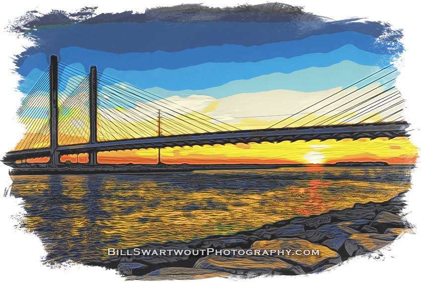
sunset under the Indian River Bridge Watercolor
Simulated watercolor of the sun setting under the Indian River Inlet Bridge at the Delaware Seashore State Park.

First Flight and First Photo with the Mini SE

I managed to fly, perform basic maneuvers and land with no problems.

Enough snow melted so I could find some grassy areas and the wind died down – so I figured it was time to overcome my nerves and fly this thing. A long, long time ago I flew Radio Control airplanes and helicopters – and remember a lot of happenings (crashes?). This drone is much easier to control than what I remembered from the past. Much easier!

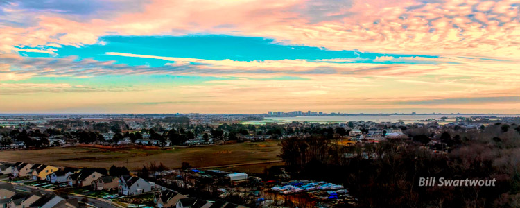
So, here is my first photograph (that looks like anything other than a test shot). I was 50 meters ( 165 feet) above our back yard and facing southeast toward Ocean City, Maryland. The high-rise buildings of Condo Row (just right of center) are about five miles away.

Drone View of Ocean City Skyline 750x300

The water in the foreground of the Ocean City Skyline is Assawoman Bay and the water on the horizon is the Atlantic Ocean. This look quite impressive as a semi-panorama 4,000 pixels wide by 1,600 high.

I did not want to put the drone on the grass for launch so I made a makeshift takeoff/landing pad from a piece of heavy cardboard reinforced with Styrofoam strips. I may waterproof and paint the cardboard to make a more permanent landing pad. Of course, if I paint an “H” in the center it may become my Heliport.

I first tried a short flight in a sheltered area on one side of our home. I did the “Auto takeoff” and hovered a bit right in front of me to check the drone over. I didn’t see anything out of the ordinary so I explored the controls. I went up and down a little and yawed left and right with the left stick. As I gained a bit of confidence I tried the right stick and propelled the aircraft forward, backward and to the each side. Next I took a short flight out and back and then proceeded to “Auto land” my new airship.

For a second flight I moved to the back yard where I had more “space” and figured I would expand my reach, so to speak, a bit higher and further. I hovered in place to make sure the drone could handle the slight breeze. It did, so I ascended to 50 meters (165 feet) and yawed in a circle a couple of times – all the while changing my gaze from the screen to the drone. I was impressed with what I could see and took a few pictures. The most interesting one, in the fading light, was the one posted above – the skyline of Ocean City, Maryland.

The batteries are charging now, as I type this, for my next adventure into the sky. So, of course, there is more snow in the forecast for tomorrow morning and I can hear the wind howling right now. I may have to practice continued patience – but I do not want to “push” anything until I am well experienced.